Africa’s malaria map is being redrawn
2026-08-12
Heat is quietly redrawing Africa’s malaria map. Warmer nights and longer wet seasons are stretching the survival window of Anopheles mosquitoes, while subtle shifts in humidity and altitude are opening transmission corridors in places once considered low risk.
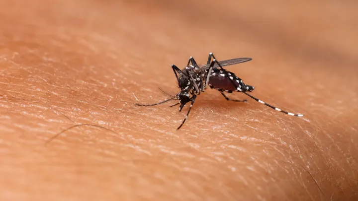
The unsettling truth, researchers argue, is that classic malaria geography is losing predictive power as climate forcing overrides older patterns of rainfall and land use, with entomological inoculation rates rising on some highland fringes even as intense transmission plateaus or falls in certain lowland zones under sustained insecticide-treated net coverage and artemisinin-based combination therapy.
Health officials now face a double bind. They must defend long-endemic districts where insecticide resistance and changing mosquito biting behavior undermine indoor residual spraying, while at the same time building surveillance from scratch in cooler highlands and peri-urban belts where Plasmodium falciparum detection, vector mapping and early warning systems have been thin or absent.
What looks like a slow ecological shuffle is in fact a policy stress test, compressing already limited budgets as countries try to leverage climate data, remote-sensing rainfall indices and geospatial modeling to pre-position diagnostics, train community health workers and decide where the first limited batches of malaria vaccines can prevent the sharpest future spikes in disease.
Loading...

